🎙️ Voice is AI-generated. Inconsistencies may occur.
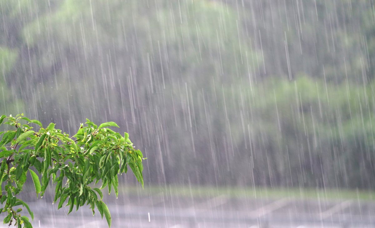
A city in West Virginia has seen more than double its average rainfall for the first two weeks of June amid thunderstorms that pummeled the region this past weekend.
National Weather Service (NWS) meteorologist Jason Frazier told Newsweek that more thunderstorms are on the way.
Why It Matters
West Virginia faced a sudden weather crisis after torrential rain brought deadly flash floods to several communities this past weekend, with officials confirming fatalities and ongoing search efforts for missing residents.
Central and northern parts of the state, particularly Wheeling and nearby towns such as Valley Grove and Triadelphia, experienced what local officials described as remarkably high rainfall rates, resulting in rapid rises of creeks and widespread infrastructure damage.
What to Know
On Sunday, thunderstorms pummeled Morgantown, West Virginia, and dropped 1.84 inches of rain over roughly an hour and a half. Nearby Fairmont, which saw such torrential rains that an apartment building partially collapsed, received as much as 3 inches during the same timeframe.
For the first two weeks of June, Morgantown's average rainfall is 1.91 inches. However, the relentless storms have dropped nearly 2.5 times that, with the city receiving 4.63 inches of rain so far this month.
It is the eighth wettest start to June in Morgantown.
Emergency responders in West Virginia faced significant challenges due to washed-out roads, destroyed bridges, and widespread debris, hampering rescue and evacuation efforts. The state's governor, Patrick Morrisey, declared a state of emergency for Ohio County, granting expanded authority for disaster response and mobilizing resources such as state police, the Division of Natural Resources, and the National Guard.

The severe weather did not stop at the West Virginia border. The NWS issued flood watches and warnings for parts of neighboring Virginia, including a severe flood warning for northern Virginia, affecting areas such as Fairfax, Loudoun, and Prince William counties early Monday morning.
The warnings indicated that flooding in rivers, creeks, and other low-lying areas was already occurring or imminent, with further rainfall expected to exacerbate conditions.
What People Are Saying
Frazier told Newsweek: "It is currently not raining but we do have a chance for heavy thunderstorms today and tomorrow, and another round Thursday as well. We do have a flash flood watch in effect for most of northern West Virginia."
Flood watch issued by Charleston, West Virginia: "The saturated ground has produced conditions ripe for landslides and debris flows on steep slopes around the area. Residents with homes on or at the base of hillsides should be aware of the potential for landslides and watch for trees leaning in unusual orientations, water and mud seepage where not expected and other signs of potential ground movement."
What Happens Next
Frazier urged people to monitor the latest watches and warnings and to ensure they have wireless emergency alerts enabled on their phones.
fairness meter


About the writer
Anna Skinner is a Newsweek senior reporter based in Indianapolis. Her focus is reporting on the climate, environment and weather ... Read more